| UTM-X | UTM-Y | ||
|---|---|---|---|
| STOP 1: CALA PI | |||
| STOP 2: FACING THE TOWER OF CALA PI | |||
| STOP 3: CALA BELTRAN | |||
| STOP 4: ES BANCALS, SOUTH-EAST SECTOR | |||
| STOP 5: ES BANCALS, NORTH-WEST SECTOR |
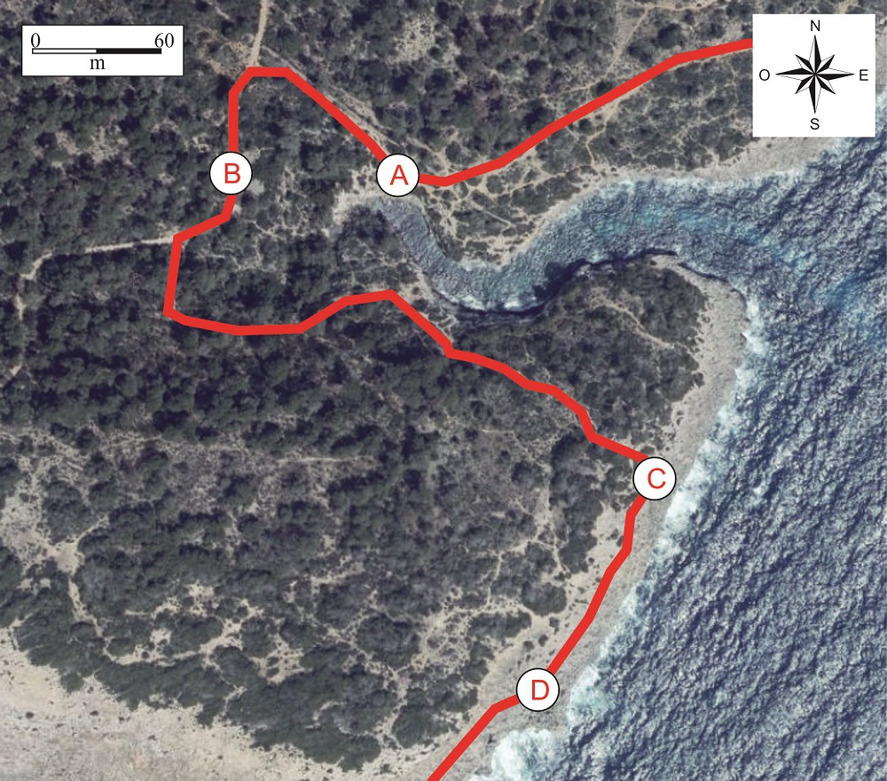
Recommended route.
Walking north-west we reach Cala Beltran (point A), a site which, like Cala Pi, also owes its geomorphology to a cove excavated by an ancient stream.
Although smaller than that of the neighbouring cove, in Cala Beltran it is also possible to observe in cross-section the same coral reef as in the first stop, with fossils of molluscs and branching corals
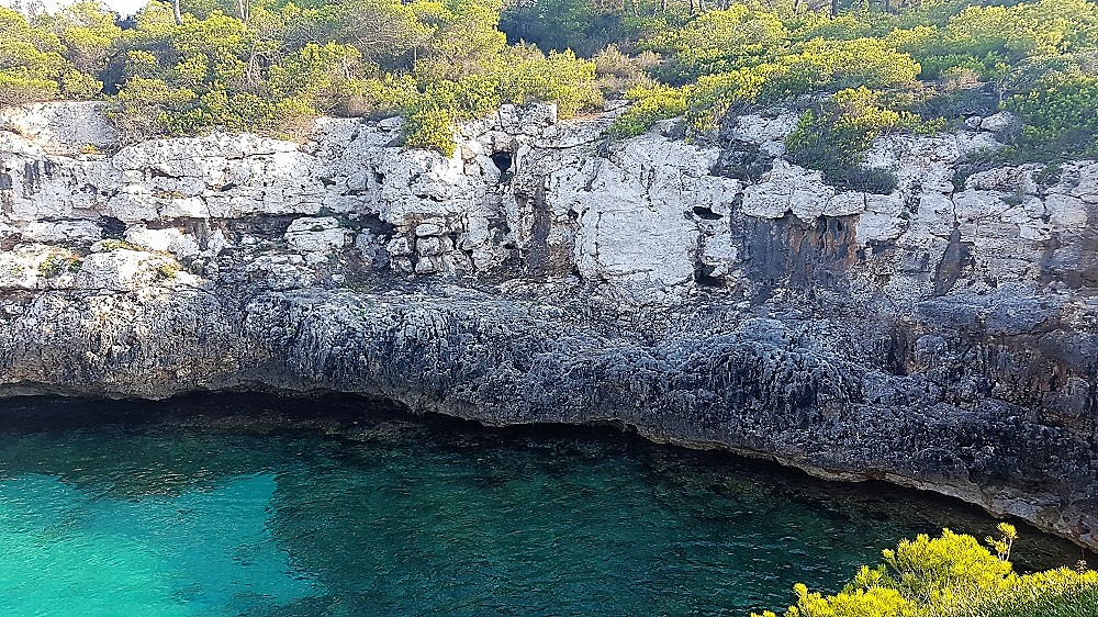
Cliff of Cala Beltran, displaying corals.
Following the marked path that skirts the interior of Cala Beltran, we pass by two flat, circular structures made from local stones. These are ancient sitges, places where wood was burned to make charcoal.
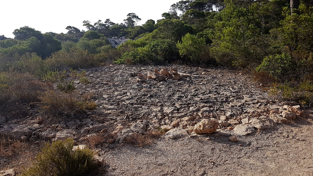
Sitja at point B.
After this point in the itinerary, we go back to the coastline, where we see a flat, bare fringe of rock. This is an ancient marine abrasion platform, that is to say, an erosion surface caused by the action of the sea. It was formed during the Pliocene by the erosion of the Miocene reef limestones. In fact, this same platform can be observed along several kilometres of coastline, although it is here (points C and D) where it begins to be seen clearly.

Representative view of the geology of the zone (point D), with the different stratigraphic units described.
On the abrasion platform, once again we can see remains of the Pliocene beach described at the previous stop (point D). The contact between the two is discontinuous. Above it there are strata of continental origin of orangey colour from the Pliocene and the Pleistocene. As we walk towards the next stops, this last continental section will be represented more and more.