| UTM-X | UTM-Y | ||
|---|---|---|---|
| STOP 1: THE OLIGOCENE COAST | |||
| STOP 2: THE RANDA CALCARENITES | |||
| STOP 3: VIEWPOINT OF MORRO D’EN MOLT | |||
| STOP 4: VIEWPOINT OF THE SANTUARI DE CURA |
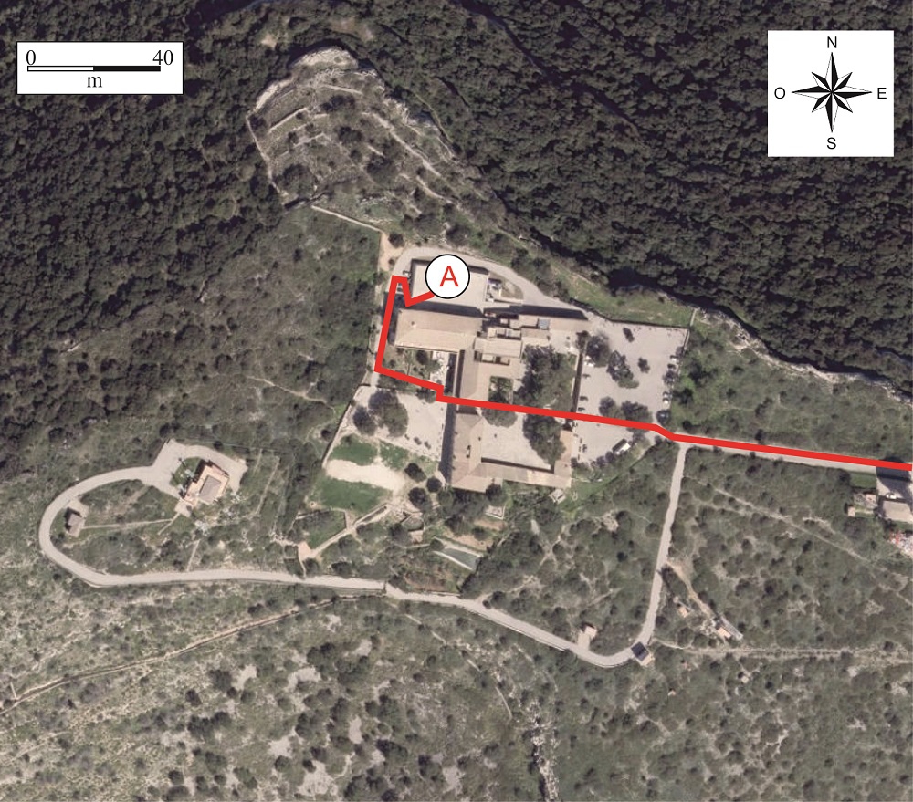
Recommended access.
From the rear terrace of the sanctuary we can see to the north-west the Serra de Tramuntana. This is Mallorca’s largest horst and concentrated a significant part of its geological activity. It includes the island’s highest peaks, with the Puig Major at 1445 m.
The graben located between the Serres Centrals, where we are now, and the Serra de Tramuntana includes several isolated basins. From south to north, we can see the basins of Palma, Inca and Sa Pobla. This system of basins and central ranges is named the Central Plain.
The basins were initially covered by the sea and the hill ranges constituted true independent islands, but millions of years of sedimentation have filled in the basins.
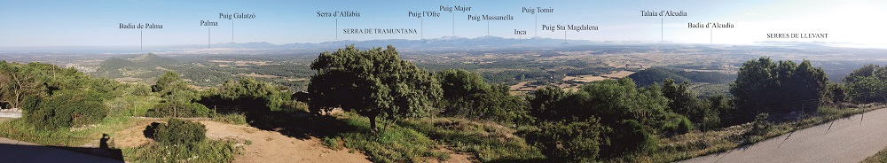
Panoramic view from the rear terrace of the sanctuary
Looking to the north-east we see the other horst, constituted by the Serres de Llevant. Their origin is the same as that of the Serra de Tramuntana, although they began to form a few million years earlier.