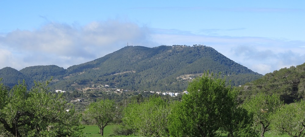
Sa Talaia of Sant Josep.
The hill of Sa Talaia de Sant Josep has an altitude of 475 m and is the highest point of the island of Eivissa. It is an excellent viewpoint for observing the structure of the island.
Eivissa was submitted to three different deformational phases that conditioned its present-day structure:
• An initial phase of distension which occurred during the Mesozoic. During this phase the sedimentary processes were very substantial due to the formation of basins originating out of synsedimentary faults. No traces of this first stage remain on the terrain because it has been eliminated by the subsequent phases.
• A second stage of compression originated during the Tertiary and caused the piling of Eivissa into three thrust faults towards the NW, collapse towards the SE and orientation NE-SW. This phase notably conditioned the present-day geomorphology of the island.
• A final phase of new distension which began at the end of the Miocene and still continues today. It was during this phase that the Balearic Promontory was separated from the mainland. In Eivissa its impact was very small.

Diagram of the different Structural Units of Eivissa determined by the thrust faults oriented NE–SW, originated during the Tertiary compression stage. Modified from IGME, 2009.
These three phases, along with the surface erosion, have modelled the island of Eivissa, making it possible to distinguish the following morphological domains:
• Northern Mountain Fringe: corresponds to the hills of Es Amunts, and in general the predominant materials are dolomites, limestones, marls and marly limestones of the Jurassic and Cretaceous, considerably resistant materials which favour the creation of reliefs, with a NE–SW orientation.
• Central Depression: located in the central and southern sector of the island, including all the gentle, flattened reliefs found between Sant Antoni de Portmany, Santa Eulària des Riu and Sa Plana. Constituted mainly by Quaternary materials.
• Southern Mountain Fringe: includes all the raised sector running from the Serra de Ses Roques Altes in the south-west to the Serra d’en Balansat in the east. It could also include the elevations of Puig des Falcó, Corb Marí, Illa Grossa and Dalt Vila. It is this fringe that includes Sa Talaia de Sant Josep. Jurassic and Cretaceous materials also predominate.
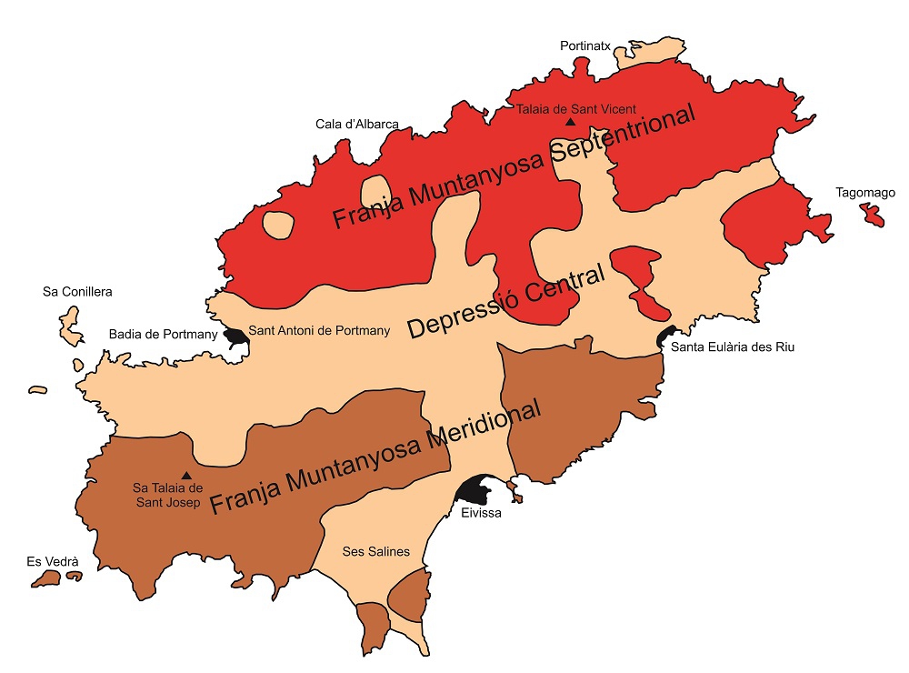
Diagram of the different fringes into which Eivissa is divided, conditioned by the deformational stages it has undergone. Modified from IGME, 2009.
From this viewpoint there is a view of the passage from the Southern Mountain Fringe, where Sa Talaia de Sant Josep is located, to the depressed zone of the plain of Sant Antoni de Portmany, and, in the distances, the Northern Mountain Fringe.
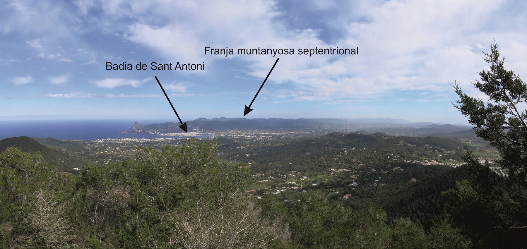
View from Sa Talaia de Sant Josep showing the bay of Portmany.